Bucovina
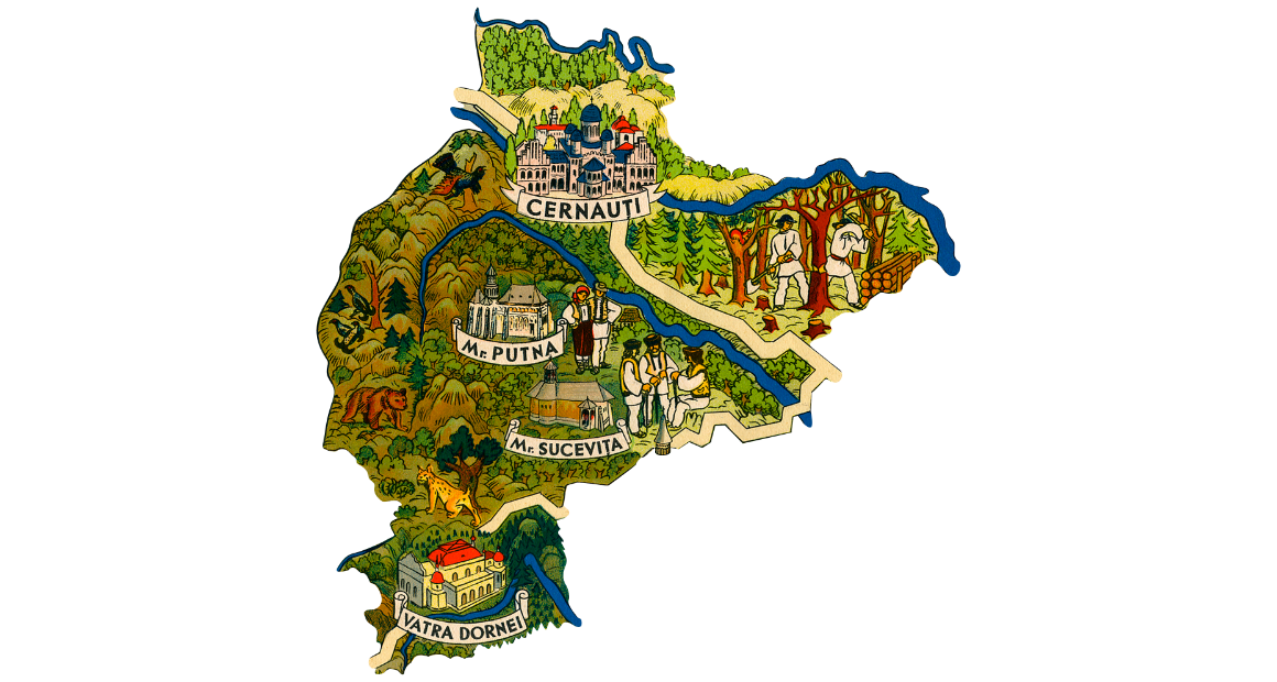
Bucovina is one of the most beautiful Carpathian provinces, it is a fascinating land through the history of the place and the people, through the harmony of the landscape with the most special colors.
Viewed on the map, the historical region of Bucovina includes the space covering today the area adjacent to the cities of Suceava, Câmpulung Moldovenesc, Rădăuţi, Siret and Vicovu de Sus as well as the central and western part of the Cernăuți region of Ukraine.
An area of cultural interference, with a particularly attractive landscape, Bucovina is emblematic of the hospitality of people who have a special respect - perhaps more than in any other part of Europe - for the place where they live.
The land of the Beeches, as it was also called, is par excellence a hearth of spiritual and material values unique in their specificity.
Bucovina is appreciated for the numerous monasteries built by former rulers such as Stefan cel Mare, Alexandru cel Bun, Petru Rares and Alexandru Lapusneanu, each with something specific: Humor -red, Voronet-blue, Sucevita-green and Moldovita-yellow.
Maramures
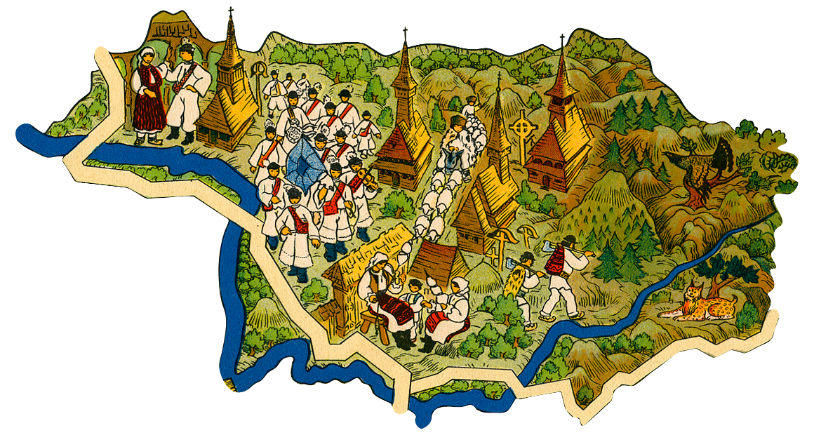
Located in the northwestern part of Romania, on the border with Ukraine, Maramures is the place where ancestral traditions, folk costumes and old art are kept like nowhere else in Romania. That is why the strong point of tourism in Maramures is the life of the village. The traditional Maramures architecture occupies a significant place in the art of wood processing in Romania and Europe, the originality of the villages in the area consisting of carved gates. These together with the wooden churches create the cultural space located on both sides of the Gutai-Tibles mountains.
The Maramures area offers many places worth visiting, such as:
The Merry Cemetery in Săpânța - the most attractive stage of a holiday in Maramures, Izei Valley - the historic center of Maramures, Vaser Valley, Baia Mare, Sighetu Marmatiei. Izvorul Negru Church is located near Moisei and dates from 1672. Horses Waterfall is located near the tourist resort Borsa - Complex, in the NE part of the Rodna Mountains, the water collected from a glacial circle flows over a steep limestone resulting in a beautiful waterfall .
Crisana
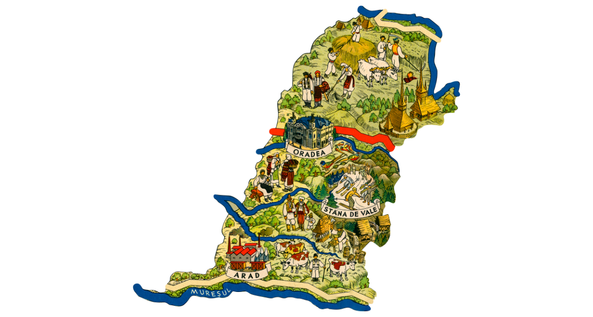
Crisana is named after the three main rivers in the region: Crisul Alb, Crisul Negru and Crisul Repede. The name Banat comes from the word Ban, the military leader of the region. It’s located in Romania's western border - Crisana borders Hungary in the north, and Banat borders Serbia in the south.
Transilvania
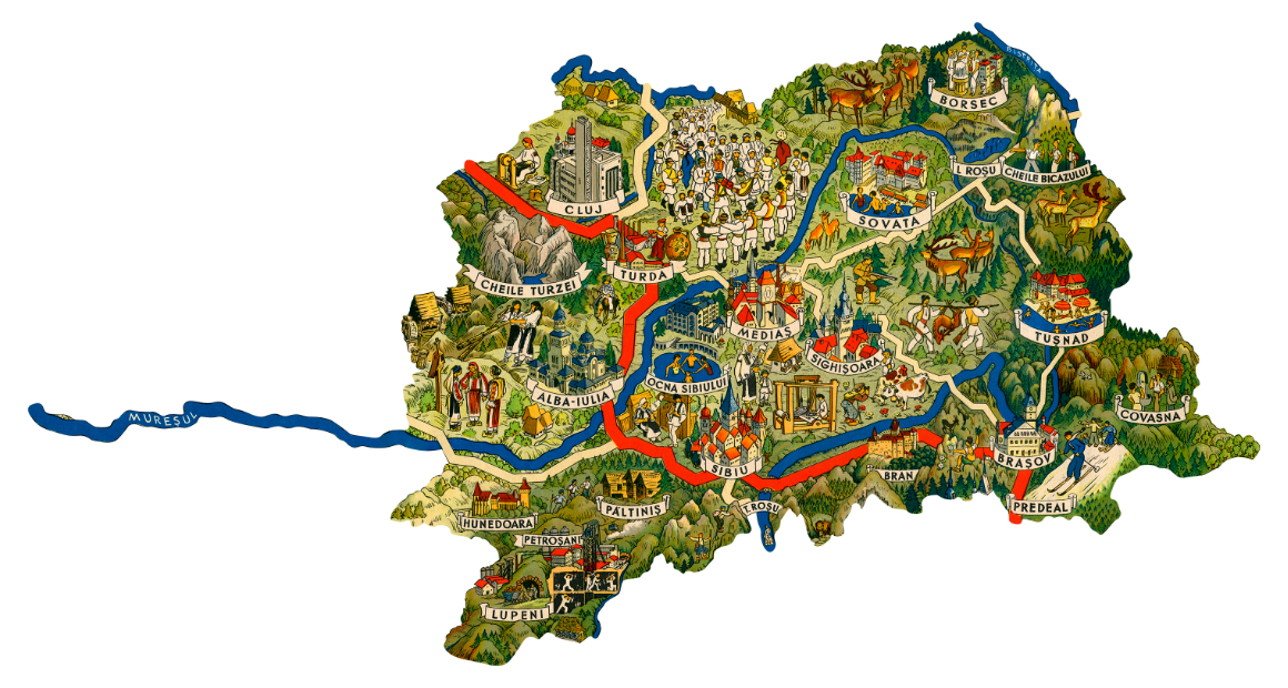
Transylvania is the historical region in central Romania and includes 10 towns: Alba, Bistrita-Nasaud, Brasov, Cluj, Covasna, Harghita, Hunedoara, Mures, Salaj and Sibiu.
On the territory of Transylvania was in antiquity the political center of the Dacia kingdom, Sarmizegetusa Regia.Transylvania hosts some of the best preserved medieval cities in Europe, especially Brasov, with its old architecture and the ruins of the Saxon fortress; Sibiu with cobbled streets and houses of pastel colors and Sighisoara, adorned with a fortress on top of the hill, with secret passages and a clock tower from the fourteenth century.
Visitors to Transylvania will also come across stunning castles, such as Bran, near Brasov, a Gothic fairytale structure, often associated with Vlad Tepes, the twentieth-century Wallachian prince inspired by Bram Stoker's Dracula. While the connection with Vlad is thin, the deep connection of the villagers with the legend is not.
The 15th century Corvin Castle, the most beautiful in Transylvania, located near Hunedoara, has a sumptuous knights' hall - which can be used for functions or parties, as well as towers and buttresses reminiscent of medieval times.
The Apuseni Mountains, in the Western Carpathians, represent a landscape of beauty and refined mystery. Here you will find ancient legends about mountain spirits and rare species of wild animals. The Scarisoara Glacier, a national monument, is home to the second underground glacier on the continent.
Banat
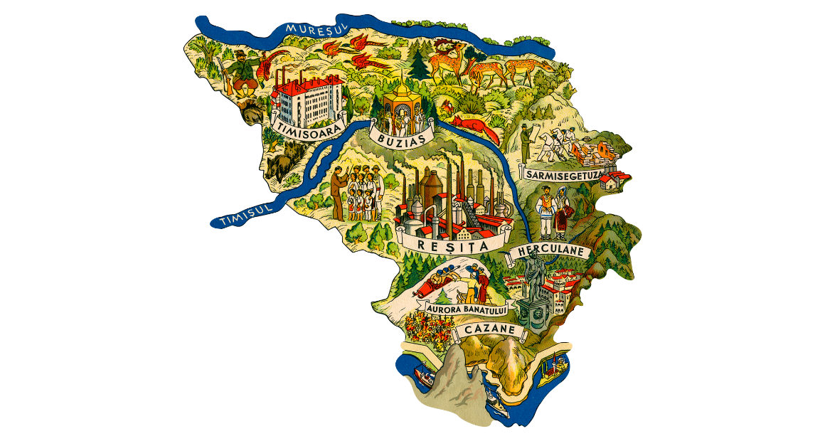
Banat is the historical region in western Romania, between the Danube, the Tisza, Mureş and the Carpathians.
About two-thirds of Banat was united with Romania and one-third was granted to Serbia, according to the 1920 treaties. Banat also includes a small piece of territory between Mureş, Szeged and Beba Veche, located today in Hungary.
The Romanian part of the old Banat today covers the territory of five counties: it includes the counties of Timiş and Caraş-Severin in its entirety, includes the territory south of Mureş in Arad county, Orşova area in Mehedinţi county and some communes in Hunedoara county.
Banat no longer exists as a distinct political entity since 1919, but continues to be considered a functional historical and cultural region of modern Romania.
Its economic, cultural and spiritual center is located in Timişoara, joined by Reşiţa, Lugoj, Caransebeş or Oraviţa, all cities that have played a leading role in the history of the region. In recent years, the regional administrative role is beginning to be replaced by the Western development region, which overlaps approximately over the Banat area.
Oltenia
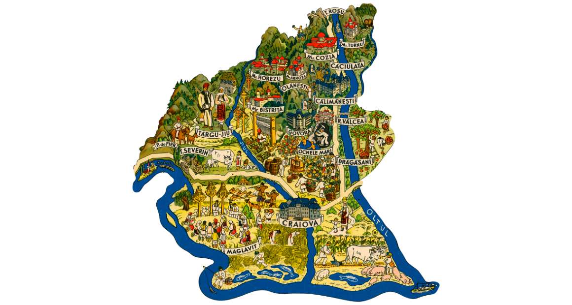
Oltenia is guarded in the north by the Southern Carpathians, and in the west, south and east by flowing waters: the Danube and the Olt, respectively. The Jiu River flows through the region in a north-south direction and divides it into two almost equal parts, in which the relief of one can be reflected in the other.
The north of Oltenia is mountainous, being present here two massifs: Parâng (east of the Jiu river) and Retezat-Godeanu (west of the Jiu river). South of the Carpathians is the sub-Carpathian area, represented by a series of hills (Dealul Bran, Măgura Slătioarei, Dealurile Gorjului, Dealul Bârzei) and depressions (Novaci, Tismana, Târgu Jiu). To the northwest are the Mehedinți Plateau, the Coșuștei hills and the Severin depression. To the south of the Subcarpathians is the Getic Plateau, which is divided into the Platforms: Strehaiei (west of the Jiu River; it is subdivided into the Hușnița and Bălăcița platforms), Jiului (crossed by Jiu) and Oltețului (east of Jiu).
In the south of Oltenia is the Oltenia Plain, which is the westernmost sector of the Romanian Plain. The Oltenia Plain is made up of the Plains of Blahnița and Băileștilor (west of Jiu) and Romanaţilor (east of Jiu). The most important rivers are: Olt (together with the tributaries Lotru and Olteț), Jiu (together with the tributaries Tismana, Motru, Amaradia and Gilort), Desnățui, Drincea and Cerna. Oltenia's climate is temperate-continental, but with Mediterranean influences.
The surface of Oltenia is 24,095 km². The most important cities are: Craiova, Drobeta-Turnu Severin, Târgu Jiu and Râmnicu Vâlcea.
Muntenia
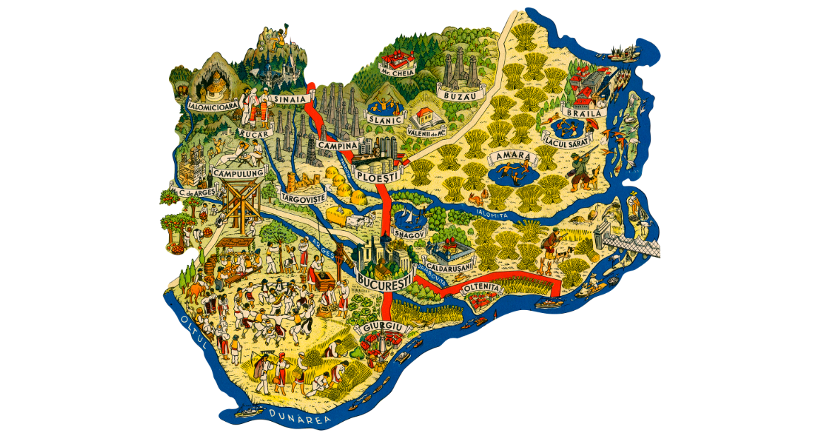
The Muntenia region is part of the historical region of Wallachia.
The first inhabitants of Muntenia were the Getae and the Dacians who inhabited this territory since antiquity. For decades, this was the site of many battles between the Dacians led by Burebista and the Romans led by Trajan. Migrating peoples also passed through these lands, leaving their mark on the place, because later, after some victories over the Tartars, the then leaders of Muntenia would establish Wallachia.
Most of it is composed of the vast Romanian Plain with its subdivisions, of which the best known is the Bărăgan Plain. These large areas represent a large part of Romania's agricultural land and of the land reserved for grazing, Romania being known as an agricultural country, mainly rural. Passing towards the central part, the vast Getic Plateau appears, so that to the north of it, the Getic Subcarpathians and those of the Curvature in the eastern part make the transition to the mountainous area where the bare peaks of the Carpathian Mountains stand guard. The Eastern and Southern Carpathians are the youngest and highest mountains in Romania, and on the territory of Muntenia is the highest peak of the country, Moldoveanu, 2,544 m high.
These mountains offer Romania a high level of tourism, due to their beauty and natural richness.
Moldova
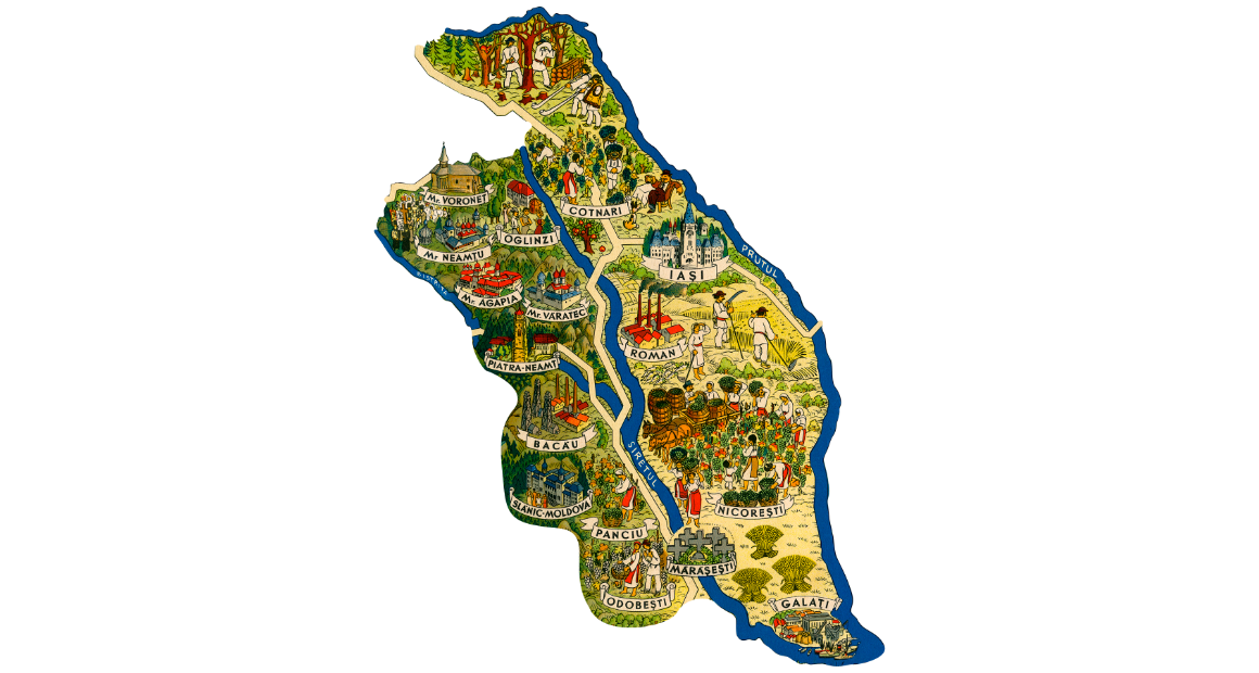
The region of Moldova in Romania is totally different from the Republic of Moldova, located in its east. The first peoples settled here since antiquity when the Dacians and then the Romans were in control of these lands. Much later, after the invasions of groups of Huns, Slavs, Goths or Gepis, the country or principality of Moldova as it was named in the fourteenth century, is conquered in turn by the Kingdom of Hungary, Poland, the Ottoman Empire and later the Habsburg Empire. Finally, in 1859, the historical region of Moldavia was united with Romania.
Being one of the largest regions of Romania, Moldova has a very special relief. From the mountains to the plains, here the tourist can meet any form of relief from the main ones. The western part of Moldova is mountainous and at the same time special because it offers the most spectacular landscapes in the region. The Tarcău Mountains, the Ciuc Mountains, the Nemira Mountains, the Hăşmaş Mountains, the Ceahlău Mountains, the Stânişoara Mountains and the Vrancea Mountains that make up this part are rich in hiking trails and breathtaking landscapes. The central and eastern part are covered by the Moldavian Plateau and Plain. The latter are in turn divided into subdivisions, from place to place appearing meadow areas (Danube Meadow, Lower Siret Meadow and Lower Prut Meadow).
Basarabia
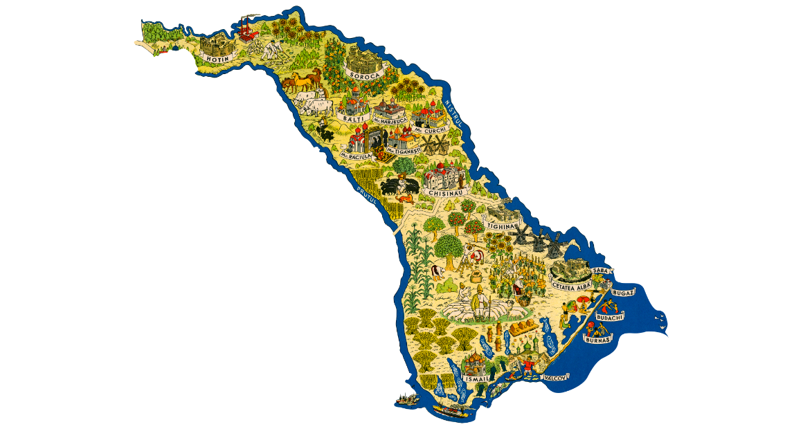
Initially, the name Basarabia was given to Wallachia, due to the founding dynasty of this voivodship, the Basarabian family. In their battles against the Tartars between 1328 and 1342, they took possession of the steppe between the Vrancea Carpathians - Danube - Black Sea and a line from the confluence of Trotuș with Siretul to Codăești end (south of Cetatea Albă, not far from the mouth Dniester).
Later, this territory was given in the 14th century by Alexandru Basarab to the voivodeship of Moldova, within which it remained the name of Basarabia.
Basarabia is the territory of the Moldavian voivodeship between Prut and Nistru annexed by the Treaty of Bucharest of 1812, together with the Hotin district and historical Basarabia (in Turkish Bugeac) ceded by the Ottoman Empire after the signing of the peace treaty of Bucharest in 1812 the Russo-Turkish War (1806-1812).
Basarabia is also known as "Moldova beyond the Prut" and once became part of the U.R.S.S. until its disintegration, it is called the Republic of Moldova.
Dobrogea
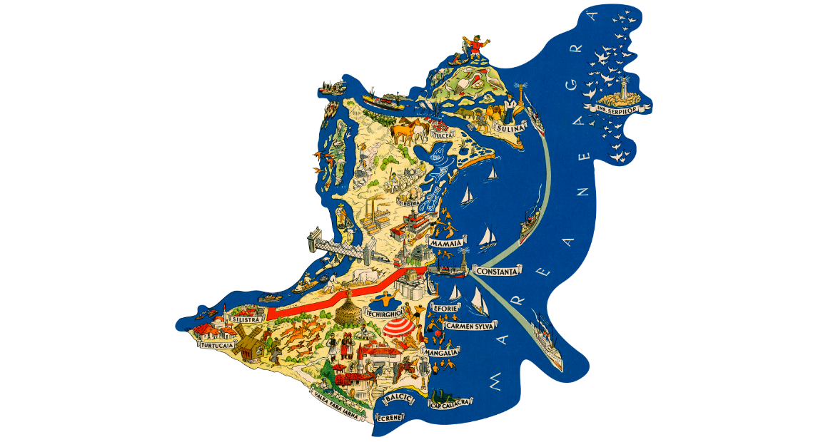
The Dobrogea region, known in the past as Little Scythia, has been occupied since ancient times by the Greeks, who left the fortresses of Histria, Callatis and Tomis on the Black Sea coast. Dobrogea was ruled by the Greeks by the Getae in relations with the Greeks, by the Persians, and then for a long time by the Romans. For decades there were battles for this territory between the Dacians led by King Decebalus and the Romans led by Emperor Trajan. Later, these territories were under Byzantine rule so that for centuries they could be crossed by migrating peoples from the east. After the Ottoman and German rule after the 14th century, Dobrogea finally joined Romania in 1877.
The relief of Dobrogea is quite poor in formations, but it compensates by the fact that on its territory is the third swampy area in the world, known as the Danube Delta Biosphere Reserve, included in the UNESCO world heritage.
Starting from the west, they are some of the oldest mountains in Europe, the Măcin Mountains, today having the appearance of a hill and a plateau being very eroded. To the center and south is the Dobrogea Plateau, which covers most of the region. Although these territories do not offer something spectacular to today's tourist,






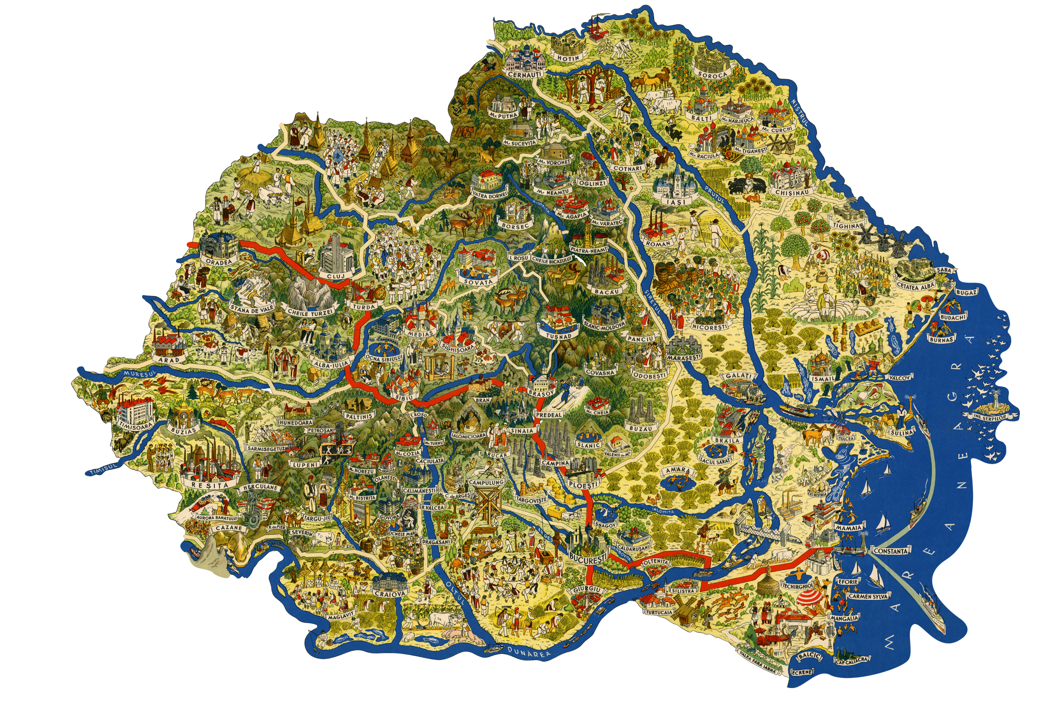
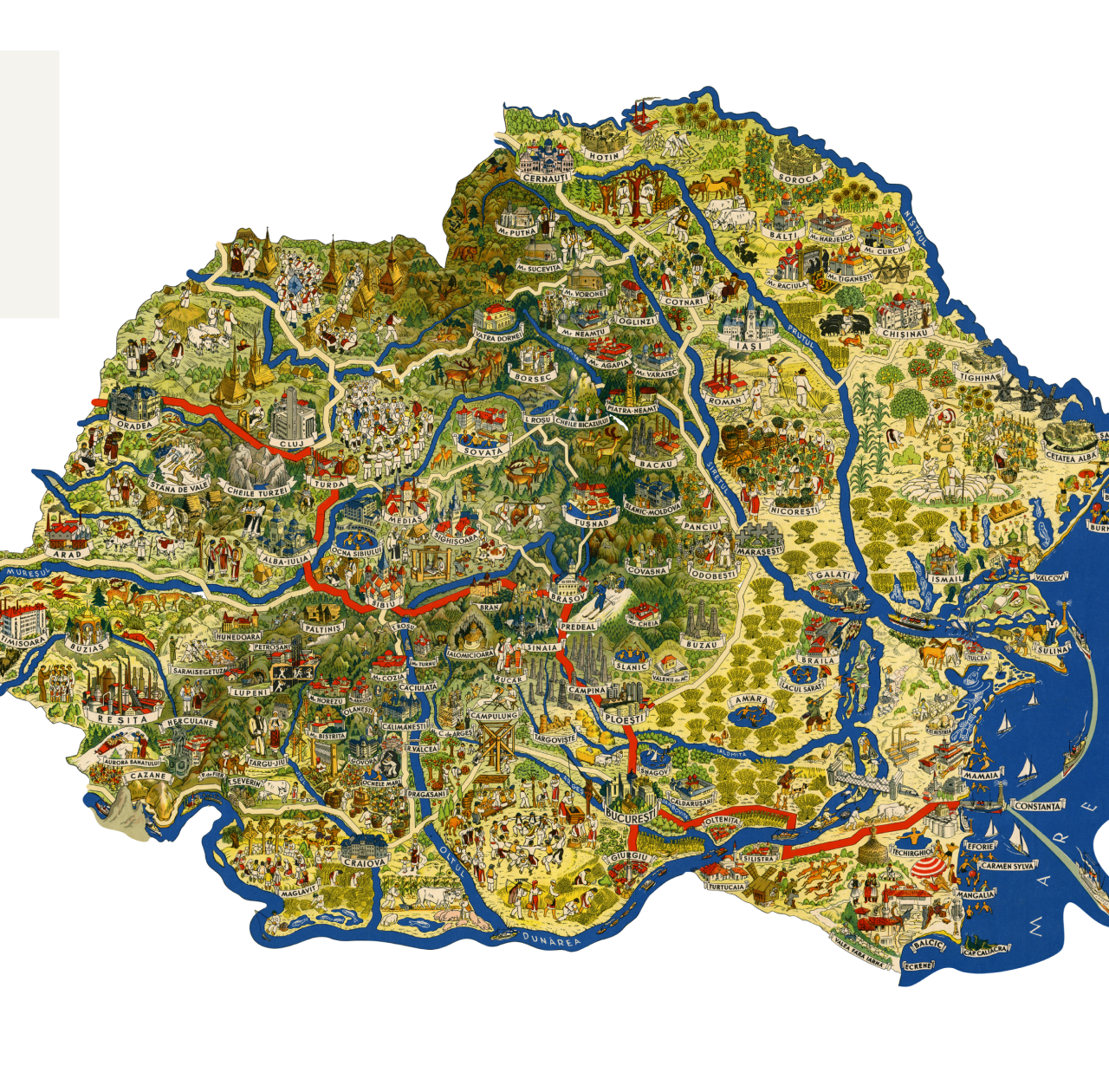
Greater Rumania
By Dem Demetrescu
Click on any point in the map to show more info.